Mosques in Aachen
9 mosques in and around Aachen, North Rhine-Westphalia, from OpenStreetMap. Tap a name to open it in Apple Maps.
| Mosque | Address | From centre |
|---|---|---|
| Islamische Gemeinschaft e.V. | 20 Harscampstraße Aachen, 52062 | 0.6 km |
| Bilal-Moschee | 20 Professor-Pirlet-Straße Aachen, 52074 | 0.9 km |
| Masjed Assunnah | Address not listed | 1.0 km |
| Al-Imam Malik Moschee | Address not listed | 1.1 km |
| Alevitisches Kulturzentrum Aachen und Umgebung e.V. | 63 Jülicher Straße Aachen, 52070 | 1.2 km |
| Türkischer Integrations- und Bildungsverein Aachen e.V. | 28 Robert-Koch-Straße Aachen, 52066 | 2.4 km |
| Mansoor Moschee | 47 Feldstraße Aachen, 52070 | 2.7 km |
| Yunus-Emre-Moschee | 209 Stolberger Straße Aachen, 52068 | 2.7 km |
| Islamische Gemeinschaft | Address not listed | 3.0 km |
Mosque list © OpenStreetMap contributors (ODbL), checked July 2026. Something wrong? Edit it on OpenStreetMap or tell us in the app.
Every mosque in Aachen, with facilities and prayer times
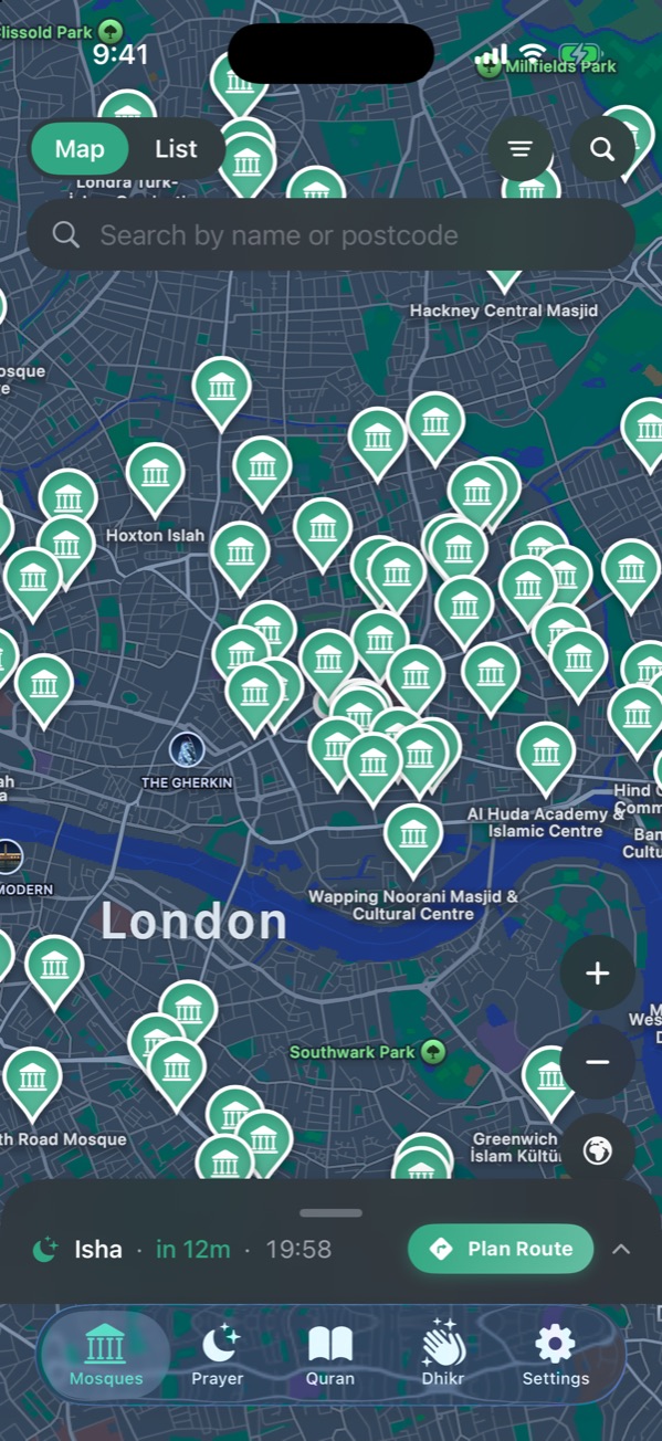
NearMasjid shows all of these mosques on a map, with women’s prayer space and wheelchair access where known, today’s prayer times, and directions. Travelling? Plan Route lists every mosque along your drive.
Download on the App StoreFree for iPhone and iPad. No ads, no account, no in-app purchases.
Qibla direction in Aachen
From Aachen, the Qibla is at 125.5° from true north (south-east), 4,384 km to the Kaaba in Makkah.
See the Qibla direction for AachenMosques in nearby cities
Frequently asked questions
How many mosques are there in Aachen?
OpenStreetMap lists 9 named mosques in and around Aachen. Some smaller musallas may not be mapped yet; the NearMasjid app also searches Apple Maps to fill gaps.
Which way is the Qibla in Aachen?
The Qibla from Aachen is 125.5° from true north, roughly south-east.
How do I find the nearest mosque in Aachen?
Open NearMasjid with location on and the nearest mosques appear first on the list, with the distance to each and directions.